Business-Ready
Map & Location Search Platform
Power your Apps with our interactive Slippy Maps and Cloud-hosted tools for Developers.
With our custom-designed map, your customers can easily pinpoint store locations, track deliveries, navigate results, and plan trips. Likewise, team members benefit from precise data visualization and efficient asset management. All a breeze to implement, thanks to our cross-platform SDKs and ready-to-use code.
Browse the Map
We developed a new AI-powered search platform with over 250 million points, enabling fast rooftop-level geocoding for your apps. Gain novel insights from reverse search by turning coordinates into locations, or use autocomplete to autofill shipping and address fields with clean, standardized data. "Class Leading Search"
Try our Search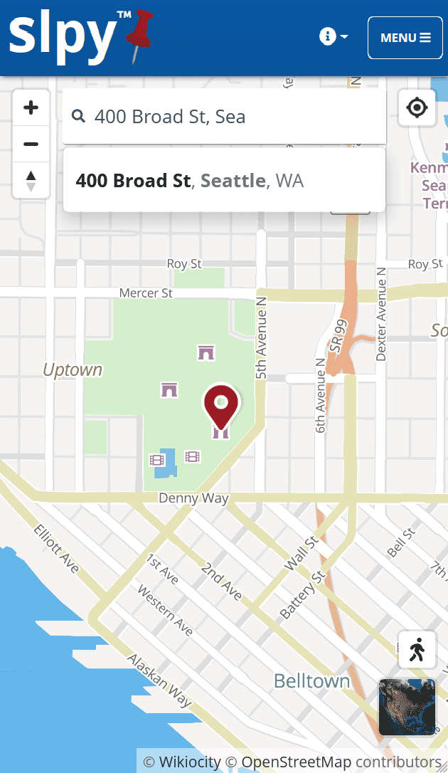
With Slpy JS, just one line of code enables integrated aerial imagery, street level view, markers with popups, and other common features.

Slpy's #1 Goal is Premium services at an unbeatable price.

Feature-complete libraries make getting started easy.

Custom IP-address rate limiting and per-key domain rules.

Vector maps offer 3D, unlimited resolution, and dynamic content.
Join for free and then activate the PRO plan when you're ready.