Cloud Hosted Maps
Smarter Design
Our custom map style is designed to be incredibly detailed, yet never overwhelming to the eye. All elements are purposeful and carefully designed, resulting in a sleek and intuitive map experience. Despite offering one of the most detailed maps on the market, we've also optimized our vector maps with advanced data compression technology to ensure lightning-fast downloads for mobile users.
Quicker Integration
We understand the needs of businesses when it comes to maps. That's why we provide ready-built software and expert support to quickly implement the most common use cases and get you up and running in no time.
More accessible
At Slpy, we believe in inclusion for all. That's why our maps include data for handicap accessible transportation, paths, and points of interest. We strive to go above and beyond the competition to meet the needs of all our users, making our maps truly inclusive and accessible for all.
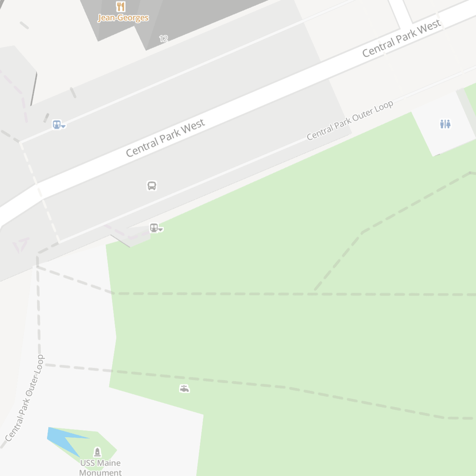
*handicap accessible icons for restroom and subway entrances in blue
Class Leading Search
Smart geocoding and address lookup unlike any product on the market.
More Data
We've collected over a quater of a billion addresss points throughout the globe, and then standardized and cleaned the data using proprietary algorithms.
Better Matches
We know that user data can be messy. That's what makes search difficult, and why we created an excellent parser, massive data sources, and intelligent matching.
Greater Accuracy
All of our results are enhanced with center of building data not found anywhere else, with a clear system for location reliability and confidence.
Everything API
We build, We share
At Slpy we've built an incredible amount of programs designed to parse, slice, display, and shrink. From our own custom forum software that can be used to communicate on this site, to a text comparison tool able to analyze backward old English sentences to their modern versions, we really have built it all. Our everything API will soon house an array of programs we've built that have allowed us to do things not found anywhere else.
More For Maps
We want our maps to cover every use case, which is why we're working to bring even more than navigation, satellite imagery, and street level integration to our products. If you have another use case that needs covering, just let use know!